
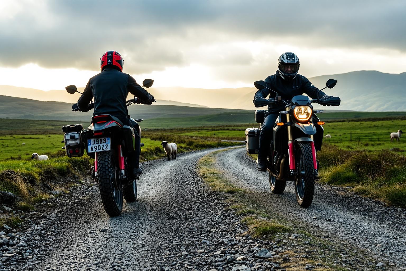
Trans Cambrian Way
Mid Wales, Knighton to the Dovey estuary
- Distance
- About 100 miles across the Cambrian Mountains
- Difficulty
- Hard. Remote, hilly and committing
The Trans Cambrian Way crosses mid Wales from the English border near Knighton to the Dovey estuary on the west coast, taking in some of the emptiest country in England and Wales. It's a proper adventure: remote moorland, long climbs and descents, and whole stretches where you're unlikely to see another soul.
Conditions and casualty record
Live conditions
Right now at Rhayader, mid route, 217 metres above sea level
Weather from Open-Meteo, measured near Rhayader, mid route rather than on the road itself. Mountain roads make their own weather.
The casualty record
The Trans Cambrian Way runs mostly on lanes, forest tracks and open moorland rather than numbered roads, so there is no traffic count and no casualty rate to report.
Casualties are for the whole numbered road across Great Britain from 2021 to 2025, not only the stretch described on this page. Source: DfT STATS19 and DfT traffic counts. Places: OpenStreetMap contributors, Open Database Licence.
How we measure road dangerThe ride
The route mixes quiet lanes, forest tracks and open moorland, with a great deal of climbing packed into its length. A gravel or mountain bike is the right tool, and a certain amount of self-sufficiency is expected.
The character is wild and open. You cross the heart of the Cambrian Mountains, with red kites overhead and reservoirs and moorland all around, before the final run down to the sea. It's one of the great long rides in Wales.
Know before you go
- This is remote country. Phone signal is patchy, help can be a long way off, and the weather on the high moor can turn quickly, so carry spares, food and warm layers and tell someone your plans.
- Some sections cross exposed moorland where navigation matters. Don't rely on a phone alone; take a map or a reliable GPS with the route loaded.
- Services along the way are few and far between, so plan food and water stops carefully before you set out.
Make a day of it
Most riders split the crossing over two or three days, with small towns along the way offering places to sleep and restock. The finish at the Dovey estuary, with the sea ahead of you, is a fine way to end a big ride.
The route links naturally with other mid Wales riding if you want to extend the trip, including the trails and lanes around the Cambrian Mountains themselves.
Places along the way
Places within a few kilometres of the route, from OpenStreetMap. The ones marked have a Wikipedia entry, which is how we picked them rather than by opinion.
Loading map
Viewpoint
Viewpoint · 0.8 km from the route
Viewpoint · 1.6 km from the route
Waterfall
Waterfall · 1.0 km from the route
Waterfall · 2.4 km from the route
Waterfall · 2.9 km from the route
Castle
Castle · 0.2 km from the route
Wikipedia
Castle · 0.2 km from the route · Wikipedia entry
Castle · 2.3 km from the route
Ruins
Ruins · on the route
Archaeological site
Wikipedia
Archaeological site · 1.1 km from the route
Wikipedia
Archaeological site · 2.5 km from the route · Wikipedia entry
Wikipedia
Archaeological site · 2.9 km from the route · Wikipedia entry
Museum
Wikipedia
Museum · 0.2 km from the route
Attraction
Wikipedia
Attraction · 0.1 km from the route
Cafe
Cafe · on the route · Website
Cafe · on the route
Riding it responsibly
The route crosses working farmland and open access land. Stick to legal routes, close gates, keep well clear of livestock and give way to walkers and horse riders.
This is fragile moorland country. Take nothing but photos, leave no trace, and keep to the track in wet conditions to protect the ground.
Ride within your limits and the law. Roads and trails change; check conditions before you travel.
More routes to explore
Back to all routes