
Hardknott and Wrynose Passes
Lake District, Cumbria
- Distance
- A short, intense run through the central Lakes
- Difficulty
- Hard. Steep, narrow and committing
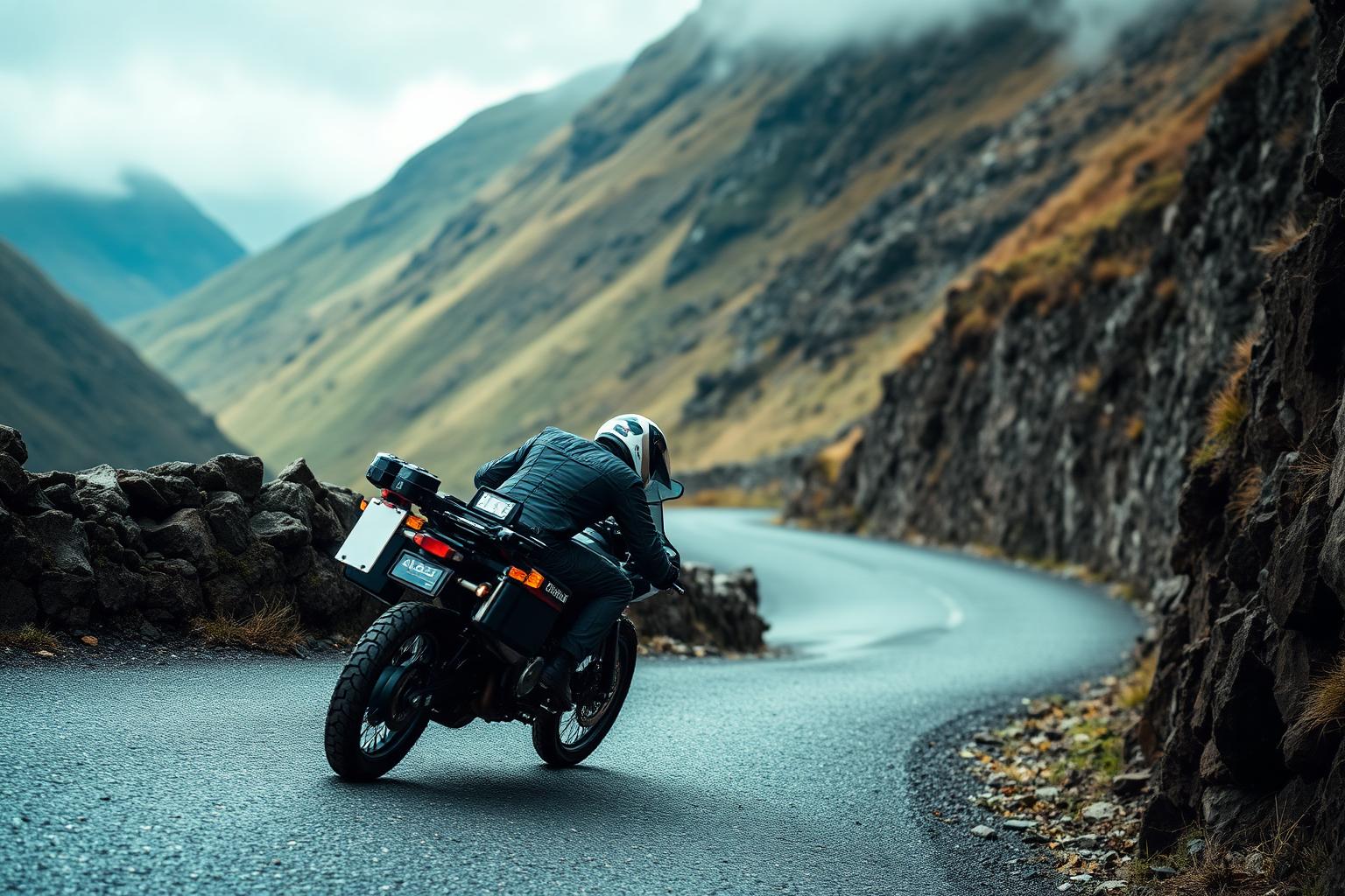
Hardknott and Wrynose link the Langdale valley with Eskdale over some of the steepest road gradients in England. It's a short route by mileage, but one of the most demanding pieces of tarmac you'll ride anywhere in the country, with hairpins, cattle grids and barely a straight worth the name.
Conditions and casualty record
Live conditions
Right now at Hardknott Pass, 258 metres above sea level
Weather from Open-Meteo, measured near Hardknott Pass rather than on the road itself. Mountain roads make their own weather.
The casualty record
Hardknott and Wrynose have no road number. I checked the mapped centreline: Hardknott Pass is classified in OpenStreetMap as a tertiary road with no ref at all. The Department for Transport counts traffic on numbered roads, so there is no traffic figure to divide casualties by and no casualty rate can honestly be calculated for these passes.
Casualties are for the whole numbered road across Great Britain from 2021 to 2025, not only the stretch described on this page. Source: DfT STATS19 and DfT traffic counts. Places: OpenStreetMap contributors, Open Database Licence.
How we measure road dangerThe ride
This is slow-speed, high-concentration riding. The gradients are severe, the corners are tight and often blind, and the road is narrow enough that oncoming traffic means real planning. On a bigger adventure bike it's a genuine workout; on anything it's an experience you won't forget.
The reward is the setting. You're riding through the heart of the Lake District's high fells, with the Roman fort at Hardknott part way over and views down into Eskdale that justify every sweaty moment.
Know before you go
- This route is not for nervous riders or anyone unsure of their slow-speed control. If you're new to riding, build up to it rather than starting here.
- In winter and after heavy rain the passes can be treacherous or impassable. Ice lingers on the shaded hairpins long after the valleys have thawed.
- Fuel is a long way away once you're committed. Fill up in Ambleside, Coniston or Gosforth before you head in. Our Fuel Finder will show you what's nearby.
Make a day of it
The passes sit in the middle of some of the best riding in the Lakes, so they slot naturally into a bigger loop taking in the Langdales, Coniston Water or the run down the Eskdale valley towards the coast.
The Hardknott Roman Fort is right beside the road and worth a stop, and the Eskdale valley on the western side is a lovely place to catch your breath before the return leg.
Places along the way
Places within a few kilometres of the route, from OpenStreetMap. The ones marked have a Wikipedia entry, which is how we picked them rather than by opinion.
Loading map
Viewpoint
Viewpoint · 0.3 km from the route
Viewpoint · 0.8 km from the route
Viewpoint · 1.4 km from the route
Mountain pass
Wikipedia
Mountain pass · 0.3 km from the route · Wikipedia entry
Wikipedia
Mountain pass · 0.3 km from the route · Wikipedia entry
Waterfall
Waterfall · 0.3 km from the route
Waterfall · 0.8 km from the route
Waterfall · 0.8 km from the route
Waterfall · 1.9 km from the route
Waterfall · 2.0 km from the route
Waterfall · 2.0 km from the route
Archaeological site
Wikipedia
Archaeological site · on the route · Wikipedia entry
Wikipedia
Archaeological site · on the route · Website · Wikipedia entry
Wikipedia
Archaeological site · on the route
Cafe
Cafe · 0.3 km from the route
Riding it responsibly
The road is shared with walkers, cyclists, sheep and tourist traffic, much of it driven by people who are out of their comfort zone. Be patient, pass wide and expect the unexpected around every hairpin.
Locals use this road too. Keep the noise and the pace down near farms and houses, and never treat the hairpins as a race track.
Ride within your limits and the law. Roads and trails change; check conditions before you travel.
More routes to explore
Back to all routes