
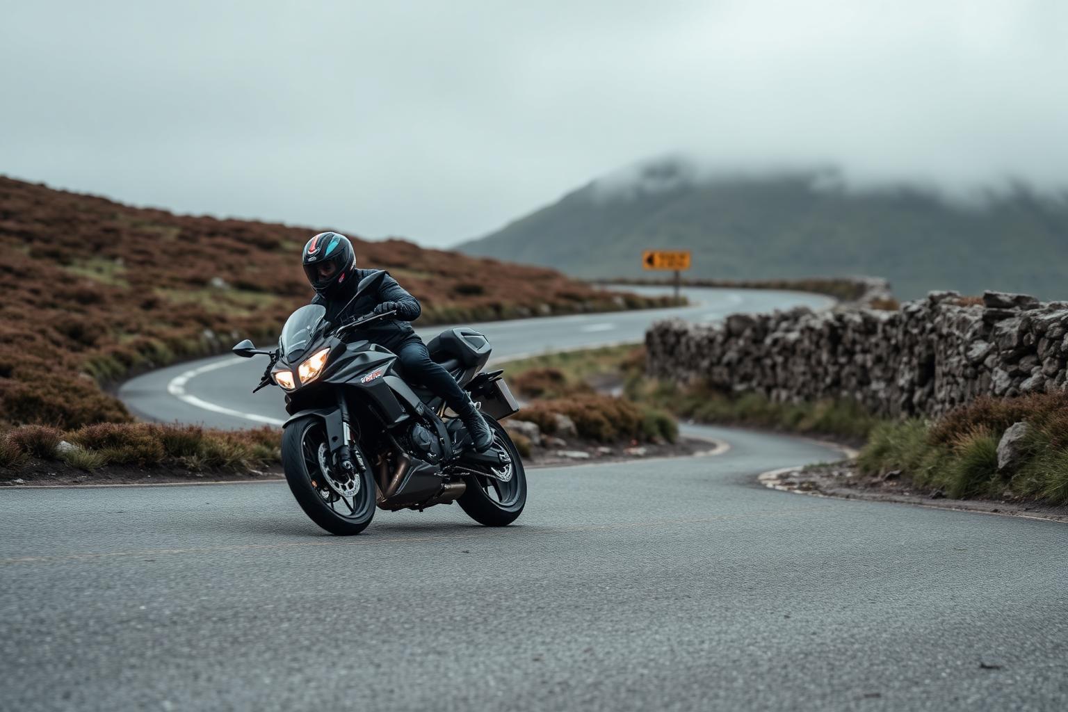
Snake Pass (A57)
Peak District, Derbyshire
- Distance
- About 25 miles between Glossop and Sheffield
- Difficulty
- Moderate. Fast, open and exposed
Snake Pass crosses the high ground of the Peak District between Glossop and the Ladybower reservoir before dropping towards Sheffield. It's been a favourite Sunday road for generations of riders, and it's easy to see why: the climbs are rewarding, the views across the moors are huge, and the road has a rhythm that suits just about any bike.
Conditions and casualty record
Live conditions
Right now at the top of Snake Pass, 496 metres above sea level
Weather from Open-Meteo, measured near the top of Snake Pass rather than on the road itself. Mountain roads make their own weather.
The casualty record
2.41 times the national casualty rate
motorcyclist KSI per billion vehicle miles
172 casualties, 87 killed or seriously injured, 6 riders killed. 5,229 KSI per billion miles ridden, ranked 308 of 1,710 roads by rate.
Casualties are for the whole numbered road across Great Britain from 2021 to 2025, not only the stretch described on this page. Source: DfT STATS19 and DfT traffic counts. Places: OpenStreetMap contributors, Open Database Licence.
How we measure road dangerThe ride
The tarmac is generally good, with long, open corners across the top and tighter, tree-lined sections as you drop down towards Ladybower. The road climbs steadily out of Glossop and keeps you up on the moor for most of the run, so the character is big-sky riding rather than technical hairpin work.
It flows best when you're smooth rather than fast. There are average-speed cameras on the road, which suits the place fine. This is a road to ride for the view and the feel of the hills, not the stopwatch.
Know before you go
- The top of the pass is properly exposed. Wind, fog and rain can arrive quickly even when the valleys are calm, so take an extra layer whatever the forecast says.
- Winter brings ice, snow and occasional closures, and the road has a history of landslip problems after heavy rain, so check it's open before you set off in the colder months.
- Fuel is scarce once you're up on the moor. Fill up in Glossop or on the Sheffield side before you climb. Use our Fuel Finder to locate the cheapest petrol near either end of the route.
Make a day of it
Snake Pass links naturally with the rest of the Peak District's riding. Many riders pair it with the run over to the Cat and Fiddle on the other side of the national park, or loop back through the Hope Valley and Winnats Pass area for a full day in the hills.
The Ladybower and Derwent reservoirs sit just off the road and are worth a stop, and the surrounding lanes give you plenty of options to stretch the ride in either direction.
Places along the way
Places within a few kilometres of the route, from OpenStreetMap. The ones marked have a Wikipedia entry, which is how we picked them rather than by opinion.
Loading map
Viewpoint
Viewpoint · 1.1 km from the route
Mountain pass
Mountain pass · 1.8 km from the route
Waterfall
Waterfall · 1.9 km from the route
Ruins
Ruins · on the route
Ruins · 0.9 km from the route
Wikipedia
Ruins · 2.7 km from the route · Wikipedia entry
Archaeological site
Wikipedia
Archaeological site · 0.5 km from the route
Wikipedia
Archaeological site · 0.7 km from the route
Wikipedia
Archaeological site · 0.7 km from the route
Wikipedia
Archaeological site · 0.9 km from the route · Wikipedia entry
Archaeological site · 1.6 km from the route · Website
Archaeological site · 1.9 km from the route
Monument
Wikipedia
Monument · 2.7 km from the route
Museum
Wikipedia
Museum · 2.1 km from the route · Website
Cafe
Cafe · on the route · Website
Cafe · on the route
Riding it responsibly
The road passes through working farmland and small communities, so keep the noise down near houses and give walkers, cyclists and horse riders plenty of room.
There's no racing to be done here. Average-speed cameras cover the route, and the road rewards a relaxed hand far more than a heavy one.
Ride within your limits and the law. Roads and trails change; check conditions before you travel.
More routes to explore
Back to all routes