
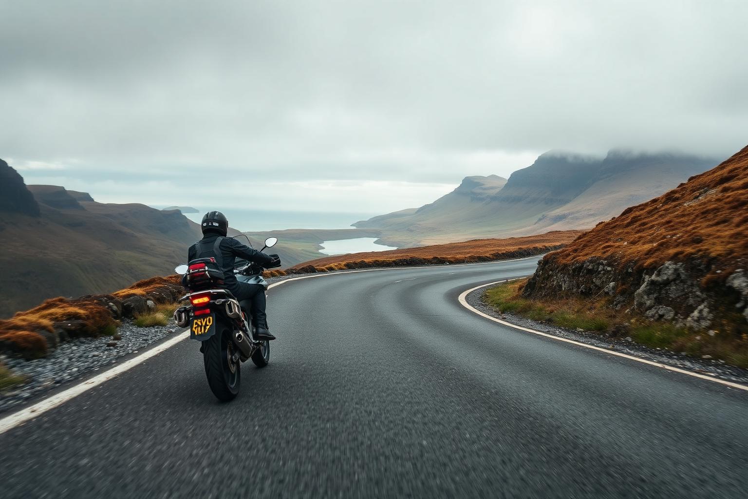
Bealach na Bà, Applecross
Wester Ross, Scottish Highlands
- Distance
- About 12 miles over the pass to Applecross
- Difficulty
- Hard. Steep hairpins, single track, very remote
The Bealach na Bà, the Pass of the Cattle, climbs from near Loch Kishorn over the high ground to the village of Applecross on the west coast. It's often described as the most spectacular road in Britain, and it's hard to argue: the hairpin climb, the single-track road and the view across the water to Skye make it a genuine bucket-list ride.
Conditions and casualty record
Live conditions
Right now at the Bealach na Bà summit, 670 metres above sea level
Weather from Open-Meteo, measured near the Bealach na Bà summit rather than on the road itself. Mountain roads make their own weather.
The casualty record
The Bealach na Bà is an unclassified single-track road with no road number, so it carries no Department for Transport traffic count. Without a measure of how far people ride on it there is no denominator, and a casualty rate would be a guess rather than a measurement.
Casualties are for the whole numbered road across Great Britain from 2021 to 2025, not only the stretch described on this page. Source: DfT STATS19 and DfT traffic counts. Places: OpenStreetMap contributors, Open Database Licence.
How we measure road dangerThe ride
The road is single track with passing places for much of its length, climbing steadily before the famous series of hairpins near the top. The surface is decent but narrow, the drops are real, and the concentration required is total. Take your time and use the passing places properly.
Cresting the pass and dropping down towards Applecross, with the Inner Sound and the islands ahead of you, is one of the great moments in UK riding. It's worth every mile of the journey to get there.
Know before you go
- This is a remote part of the Highlands. Weather can close in fast, and in winter the pass is frequently impassable with snow and ice. Always check conditions before setting out.
- Fuel is scarce in this part of the world, and the nearest station may be a long way from where you are. Plan your range carefully and use our Fuel Finder before you head into the area.
- The road is unsuitable for large vehicles and nervous drivers, and you'll meet both campervans and sheep on the way. Passing places are for letting traffic by, not for parking to take photos.
Make a day of it
Applecross itself is the reward at the far side, and the coast road north from the village towards Shieldaig and Torridon is a wonderful way to continue the day. Together they make one of the finest loops in Scotland.
The Bealach also sits naturally on the North Coast 500, so many riders meet it as part of that longer journey around the far north.
Places along the way
Places within a few kilometres of the route, from OpenStreetMap. The ones marked have a Wikipedia entry, which is how we picked them rather than by opinion.
Loading map
Viewpoint
Viewpoint · 0.3 km from the route
Waterfall
Wikipedia
Waterfall · 0.8 km from the route · Wikipedia entry
Archaeological site
Archaeological site · 0.2 km from the route
Archaeological site · 0.9 km from the route
Museum
Wikipedia
Museum · 1.3 km from the route
Riding it responsibly
Applecross is a small working community that hosts a huge number of visitors. Ride quietly through the village, respect the single-track etiquette, and give way with a wave.
The verges and passing places take a beating in summer. Park only where it's sensible, and take everything you bring away with you.
Ride within your limits and the law. Roads and trails change; check conditions before you travel.
More routes to explore
Back to all routes