
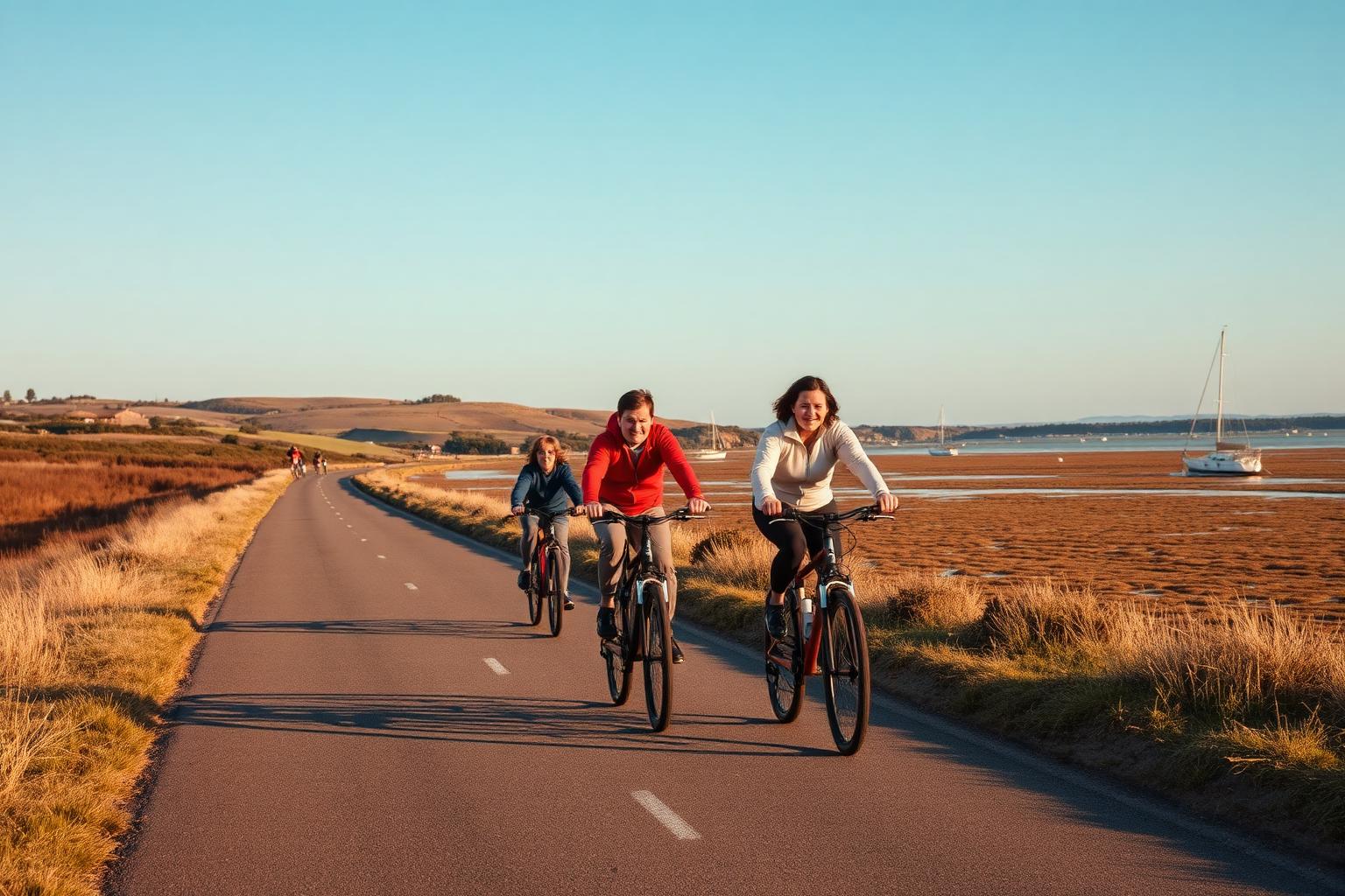
The Camel Trail
Padstow to Wenfordbridge, Cornwall
- Distance
- About 18 miles, almost entirely traffic-free
- Difficulty
- Easy. Flat and family-friendly
The Camel Trail follows a disused railway line from Padstow along the Camel estuary through Wadebridge and on towards Bodmin and Wenfordbridge. It's flat, almost entirely traffic-free and about as welcoming as cycling gets, which is why it's loved by everyone from toddlers on balance bikes to riders out for an easy spin.
Conditions and casualty record
Live conditions
Right now at Wadebridge, 7 metres above sea level
Weather from Open-Meteo, measured near Wadebridge rather than on the road itself. Mountain roads make their own weather.
The casualty record
The Camel Trail is a former railway line and is almost entirely traffic-free, so it appears in no road casualty or traffic dataset. Collisions here are not reported through STATS19 in the way road collisions are.
Casualties are for the whole numbered road across Great Britain from 2021 to 2025, not only the stretch described on this page. Source: DfT STATS19 and DfT traffic counts. Places: OpenStreetMap contributors, Open Database Licence.
How we measure road dangerThe ride
The surface is a mix of smooth tarmac and well-kept compacted path, fine for road bikes, hybrids and e-bikes alike. The estuary section between Padstow and Wadebridge is the scenic heart of the route, with wading birds, saltmarsh and wide water views.
Beyond Wadebridge the trail heads into the wooded Camel valley, quieter and greener, before the surface becomes rougher on the final stretch towards Wenfordbridge. It's easy riding throughout, with barely a hill in sight.
Know before you go
- The trail is shared with walkers, dogs, horse riders and a great many children, especially in summer and on the estuary section. Take it steady and use a bell or a friendly call.
- Bike hire, including e-bikes, is available in the towns along the trail, so you don't need to bring your own.
- Summer weekends are busy. An early start or an out-of-season visit gives you a much quieter trail.
Make a day of it
Padstow at one end and Wadebridge part way along both make good bases, with plenty of places to eat and lock up a bike. Riding out along the estuary and back with a stop on the way is the classic Camel Trail day.
The trail also links into the lanes of north Cornwall if you want to add some hills and distance once you've warmed up.
Places along the way
Places within a few kilometres of the route, from OpenStreetMap. The ones marked have a Wikipedia entry, which is how we picked them rather than by opinion.
Loading map
Viewpoint
Wikipedia
Viewpoint · 2.1 km from the route · Wikipedia entry
Beach
Wikipedia
Beach · 2.4 km from the route · Wikipedia entry
Castle
Wikipedia
Castle · 1.8 km from the route · Website · Wikipedia entry
Fort
Wikipedia
Fort · 0.3 km from the route
Archaeological site
Archaeological site · 1.8 km from the route
Monument
Monument · 0.5 km from the route
Wikipedia
Monument · 0.6 km from the route
Museum
Attraction
Wikipedia
Attraction · 0.5 km from the route · Wikipedia entry
Wikipedia
Attraction · 0.5 km from the route · Website · Wikipedia entry
Wikipedia
Attraction · 1.6 km from the route
Cafe
Cafe · on the route
Cafe · on the route
Riding it responsibly
This is a shared path first and foremost. Keep your speed down around families and walkers, pass wide and slow, and remember that the fastest person on the trail has the most responsibility.
Leave no trace. Take your litter home and keep the trail as lovely as you found it.
Ride within your limits and the law. Roads and trails change; check conditions before you travel.
More routes to explore
Back to all routes