
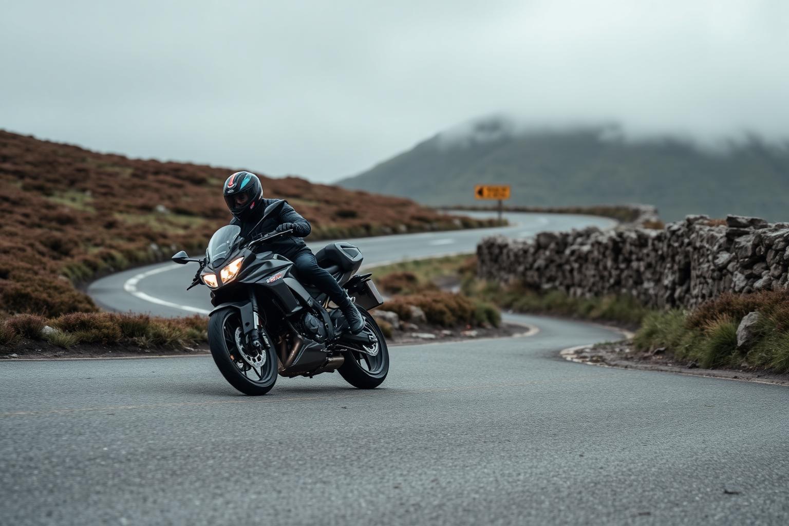
Cat and Fiddle (A537)
Peak District, Cheshire and Derbyshire border
- Distance
- About 12 miles between Macclesfield and Buxton
- Difficulty
- Moderate. Short, high and very exposed
The Cat and Fiddle road runs from Macclesfield up over the high moors to Buxton, taking its name from the well-known pub near the top. It's one of the most talked-about roads in British motorcycling, and while it's short, the elevation and the moorland setting give it a character far bigger than its mileage suggests.
Conditions and casualty record
Live conditions
Right now at the Cat and Fiddle, 483 metres above sea level
Weather from Open-Meteo, measured near the Cat and Fiddle rather than on the road itself. Mountain roads make their own weather.
The casualty record
About three quarters of the national casualty rate
motorcyclist KSI per billion vehicle miles
18 casualties, 6 killed or seriously injured, none killed. 1,561 KSI per billion miles ridden, ranked 1,201 of 1,710 roads by rate.
Casualties are for the whole numbered road across Great Britain from 2021 to 2025, not only the stretch described on this page. Source: DfT STATS19 and DfT traffic counts. Places: OpenStreetMap contributors, Open Database Licence.
How we measure road dangerThe ride
The climb out of Macclesfield is quick and steepens as you go, opening out onto exposed moor with wide views across the Cheshire Plain behind you. The corners come regularly, mixing open sweepers with tighter bends as the road works its way up and over the top before dropping into Buxton.
Like its Peak District neighbours, the road is covered by average-speed cameras, and it genuinely rides better for it. Treat it as a scenic high-moor run and it delivers every time.
Know before you go
- This is one of the most exposed A-roads in the region. Strong crosswinds are common on the top, and fog can drop the visibility to almost nothing in minutes.
- In winter the road can ice up early and stay cold all day. It's often among the first in the area to close or become treacherous, so check conditions before travelling.
- There are no fuel stations on the moor itself. Fill up in Macclesfield or Buxton, and check our Fuel Finder if you want the cheapest option nearby.
Make a day of it
The Cat and Fiddle sits at the western edge of the Peak District, so it's easy to combine with a loop taking in the Goyt Valley, Buxton itself, or a run across to Snake Pass and the Hope Valley for a full day out.
Macclesfield and Buxton both make good start or end points, with plenty of places to warm up and plan the next leg.
Places along the way
Places within a few kilometres of the route, from OpenStreetMap. The ones marked have a Wikipedia entry, which is how we picked them rather than by opinion.
Loading map
Viewpoint
Wikipedia
Viewpoint · 1.2 km from the route · Wikipedia entry
Ruins
Ruins · on the route
Archaeological site
Wikipedia
Archaeological site · 0.3 km from the route · Website · Wikipedia entry
Archaeological site · 0.4 km from the route
Monument
Wikipedia
Monument · 0.8 km from the route
Museum
Attraction
Wikipedia
Attraction · 0.3 km from the route
Cafe
Cafe · on the route
Cafe · on the route
Cafe · on the route · Website
Cafe · on the route
Cafe · on the route
Riding it responsibly
The road's reputation has made it busy with riders for decades, and the local communities know it well. Keep speeds and noise sensible near properties and give slower traffic space.
Ride for the road and the view, not the clock. The cameras are there because too many people didn't.
Ride within your limits and the law. Roads and trails change; check conditions before you travel.
More routes to explore
Back to all routes