
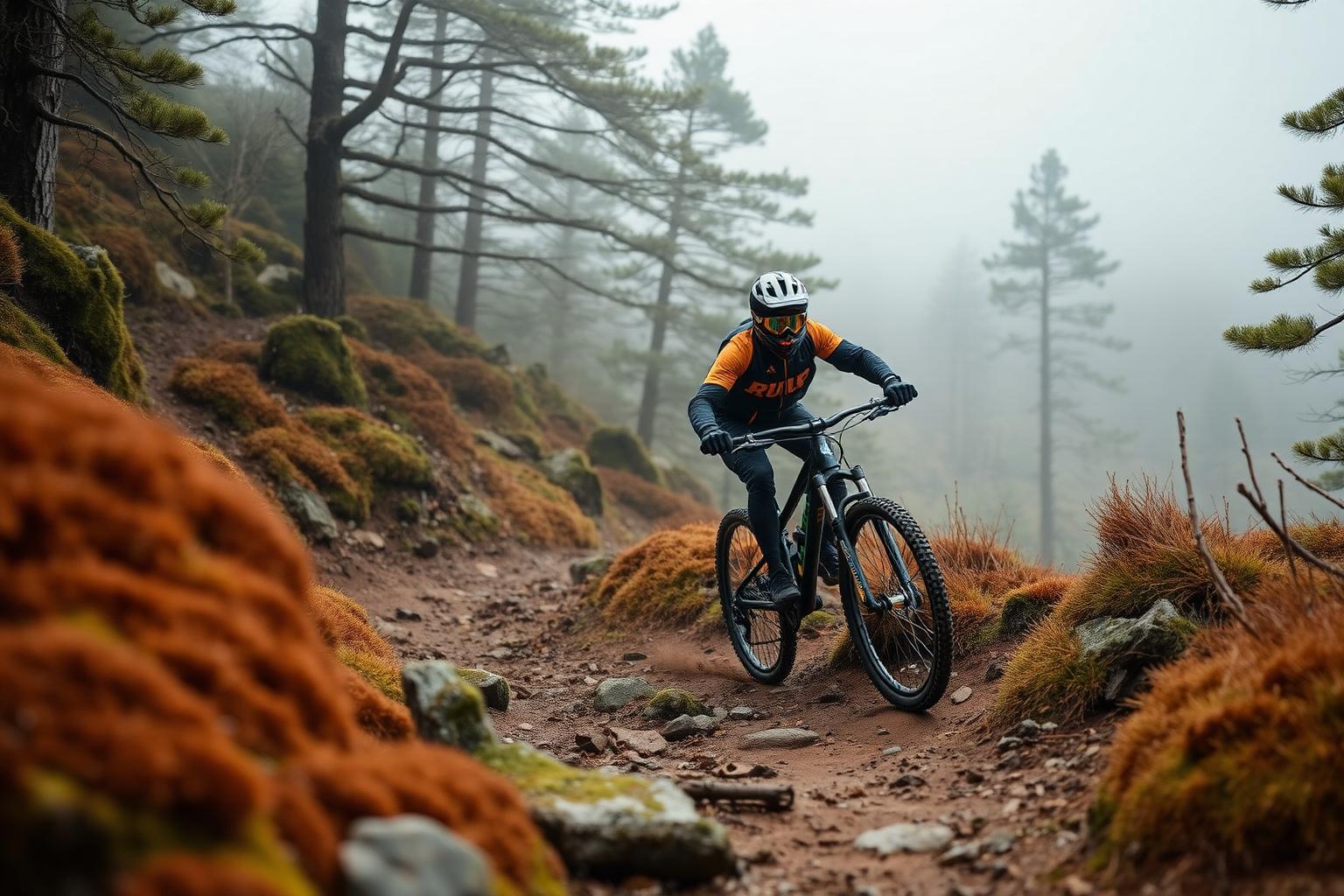
Coed y Brenin
Snowdonia (Eryri), North Wales
- Distance
- A forest trail centre with waymarked loops
- Difficulty
- All levels, from family loops to technical blacks
Coed y Brenin, in the hills near Dolgellau, is where purpose-built mountain bike trails in the UK began. The forest now holds a network of waymarked loops from gentle family routes to tough, rocky technical trails, all set in some of the finest scenery in Snowdonia. It remains one of the great British trail centres.
Conditions and casualty record
Live conditions
Right now at Coed y Brenin, 169 metres above sea level
Weather from Open-Meteo, measured near Coed y Brenin rather than on the road itself. Mountain roads make their own weather.
The casualty record
Coed y Brenin is a forest trail centre rather than a public road, so its waymarked loops appear in no road casualty or traffic dataset.
Casualties are for the whole numbered road across Great Britain from 2021 to 2025, not only the stretch described on this page. Source: DfT STATS19 and DfT traffic counts. Places: OpenStreetMap contributors, Open Database Licence.
How we measure road dangerThe ride
The trails range from wide, smooth forest roads suitable for families through flowing red-graded singletrack to rough, rocky black routes that will test experienced riders. The rockier trails have a character all of their own, built from and over the local stone.
It's pedal-up riding here rather than uplift, so you earn your descents, but the climbs are mostly well-graded forest roads and the downhills repay the effort. E-MTB hire and charging are available at the visitor centre.
Know before you go
- Check the trail status before you travel, as sections can close for forestry work or after storms. The visitor centre is the best starting point for maps, hire and advice.
- The weather in this part of Wales changes fast, and the forest holds the wet. Pack waterproofs even on promising days.
- Some trails are rocky and demanding. Choose a grade that matches your riding and your bike, and wear a helmet whatever you're riding.
Make a day of it
The visitor centre makes a natural base for the day, with food, facilities and bike hire on site, and the surrounding area is full of options if you're staying longer.
Coed y Brenin links well with the rest of southern Snowdonia's riding and walking, so it slots neatly into a longer trip to the national park.
Places along the way
Places within a few kilometres of the route, from OpenStreetMap. The ones marked have a Wikipedia entry, which is how we picked them rather than by opinion.
Loading map
Waterfall
Waterfall · 1.5 km from the route
Waterfall · 1.6 km from the route
Attraction
Attraction · 1.9 km from the route
Riding it responsibly
Share the forest generously. Walkers and runners use some of these trails too, so control your speed where you might meet others.
Respect closures and waymarking, take your litter home, and leave the trails as you found them. The forest is a working landscape as well as a playground.
Ride within your limits and the law. Roads and trails change; check conditions before you travel.
More routes to explore
Back to all routes